UAV Drone Services
UAV Drone Services
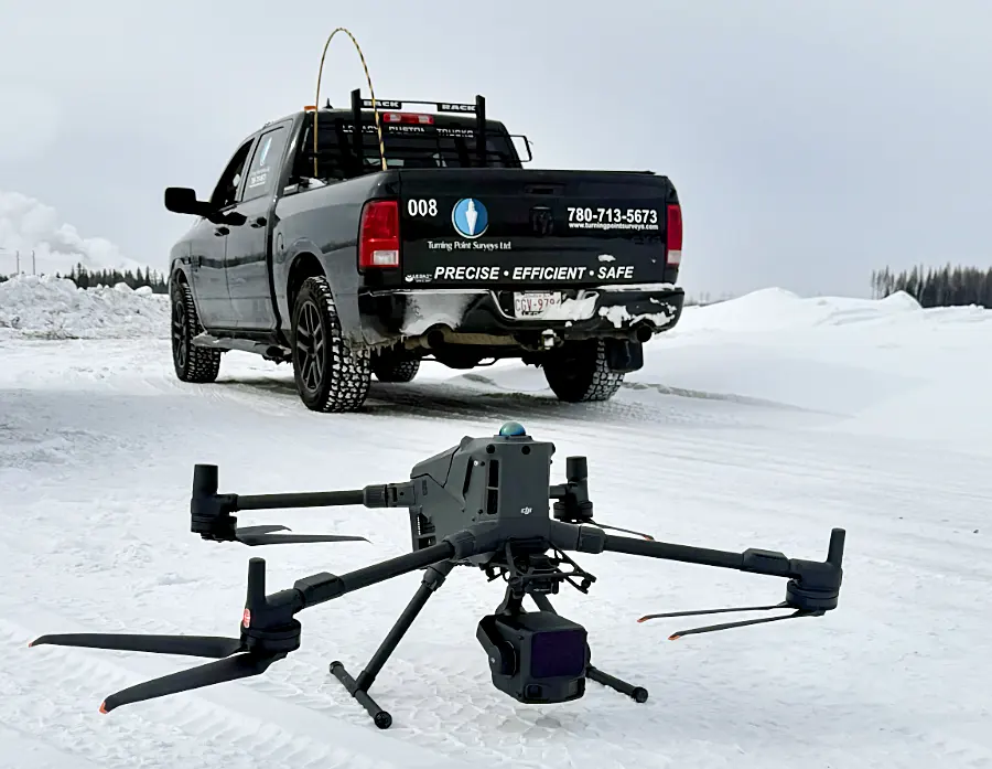
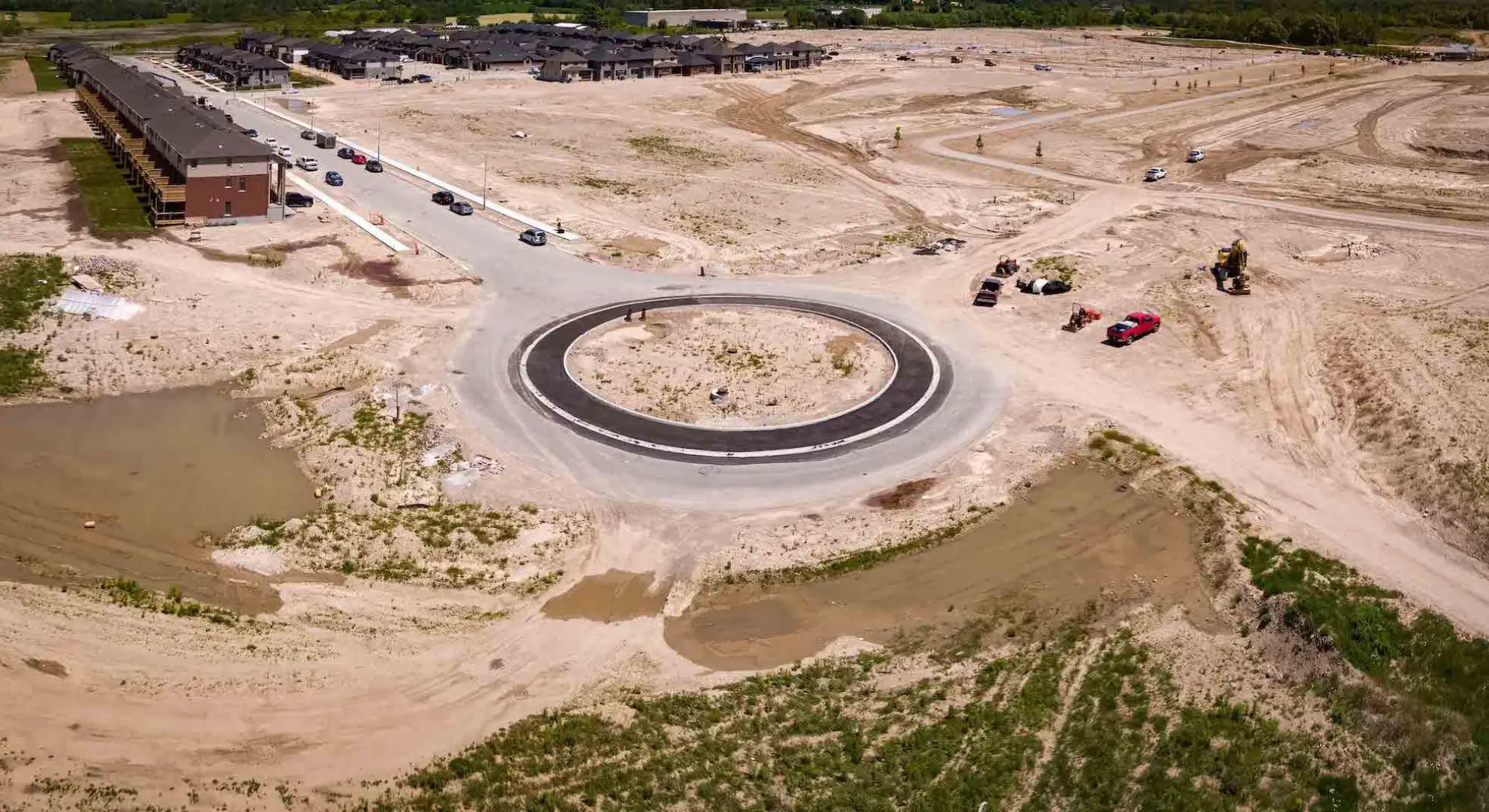
Turning Point Surveys delivers cutting-edge UAV (Unmanned Aerial Vehicle) drone services that transform the way data is collected across large and challenging terrain. Our certified drone pilots and advanced sensor payloads provide high-accuracy aerial mapping, volumetric analysis, and site inspection with a fraction of the time and cost of traditional methods.
From pipeline corridors and mining sites to infrastructure projects and environmental assessments, our drone program integrates seamlessly with our broader survey capabilities to give clients a complete, accurate picture of their site — coast to coast across Canada.
Benefits of Our UAV Services
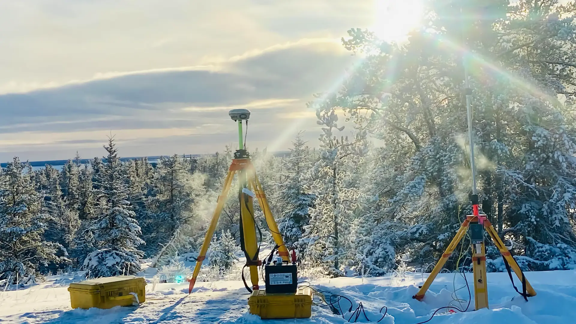
Our UAV program delivers precision data with a reduced field footprint, enabling faster decisions and lower project risk.
- Rapid aerial data collection over large areas
- Centimetre-level accuracy with RTK/PPK processing
- Safe access to hazardous or remote locations
- Seamless integration with ground survey deliverables
- Orthomosaics, point clouds, DEMs, and 3D models